CLINICS + meetups
Flash Foxy Climbing Festival • BISHOP • MARCH 14-16, 2025
Schedule is always subject to change. All programs run rain-or-shine. No refunds.
Clinics
-
All clinics are 6 hrs and have a maximum of 12 participants.
Clinics are reserved for registered festival participants. Clinic registration link will be sent via Eventbrite, early bird clinic registration will open the day before. Clinic Registration link (and waitlist link) can also be found in the festival linktree.
-
There is a $95 per day registration fee for all clinics.
Registration link will be sent directly to all festival participants via Eventbrite. Clinic registration link (and waitlist link) can also be found in the festival linktree.
Clinic registration opens February 15th! Early Bird clinic registration opens February 14th.
-
All location listings are tentative and subject to change day-of. If you have an accessibility concern related to venue locations please email events@flashfoxy.com after registering for your clinic and we will work with you to see if the clinic can be held at a venue that meets your accessibility needs. If we are unable to accommodate your needs we will gladly refund the clinic registration fee.
-
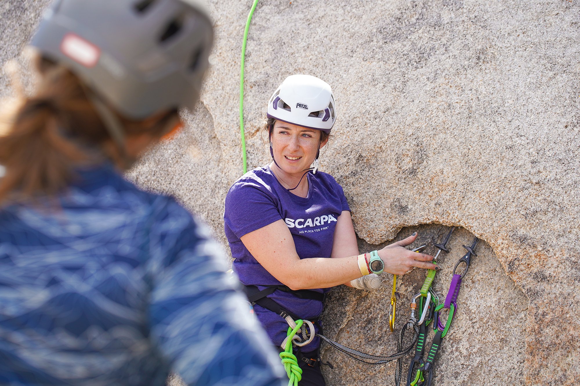
Climbing gear is provided for all clinics. There will be climbing harness, shoe and helmet demos available. If you have any gear that you would like to ask questions about/practice with at your clinic, feel free to bring it!
All clinics will be run in partnership with Sierra Mountain Guides (SMG).
Meetups
-
Meetups are free and are INCLUDED with your festival pass, just show up! Some will be climbing, some will be other activities for climbers!
These Meetups are open only to registered festival participants. Please note schedule is always subject to change.
-
Meetups will take place on Friday after Climber Coffee at 10am and Saturday at 11am!
-
Meetups are not guided or instructional in nature. They are opportunities for participants to meet each other and find new friends to climb with. Meetup leaders will be familiar with local climbing. We encourage all participants and meetup leaders to make informed risk decisions and have conversations about risk and experience with all new climbing partners. Remember, climbing is inherently dangerous and you are responsible for your own safety.
-
Participants are responsible for providing their own gear for meetups. There will be climbing harness and demos available at the Foxy Fair.
-
All location listings are tentative and subject to change day-of. Locations are selected by meetup leaders. Meetup locations tend to be flexible, so please advocate for your accessibility needs!
Need help selecting a climbing area? Chat with the Bishop Climbing Rangers, Bishop Area Climbers Coalition, or stop by the Registration table!
climbing Areas
-
Google Maps: Happy Boulders
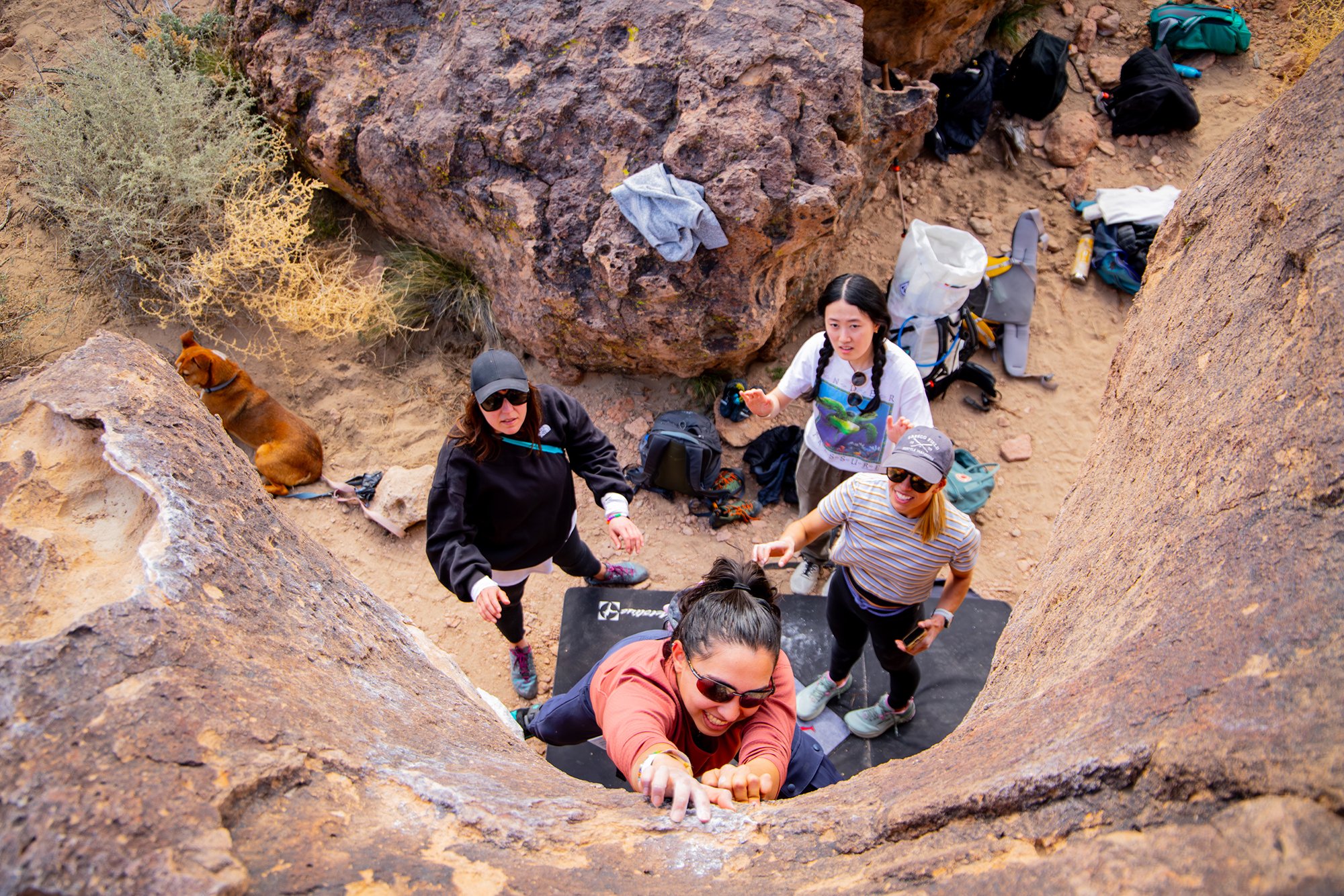
The Happy Boulders has climbs of all shapes and sizes on friendly volcanic rock. This is a great place for newer boulderers to explore Bishop climbing!
Approach + Trail Surface: moderate-steep uphill 0.5-1.0 miles on soft sand. Trails between climbing areas are mixed terrain including low flat boulders, packed sand and soft sand.
Directions: The Happy Boulders can be accessed by two different routes out of Bishop. From Main Street (395) you can take the junction for Highway 6. Then turn left onto Five Bridges Road and continue until you reach the intersection at which you will turn left onto Chalk Bluff road. Continue down Chalk Bluff road for 2.3 miles until you reach the Happy Boulder parking. From Main Street (395) continue north out of Bishop as if you were driving to Mammoth. Turn Right onto Pleasant Valley Dam Road and continue on it until you get past the County campground. Turn right onto Chalk Bluff road and continue for about 3.6 miles until you reach the Happy Boulders parking area.
-
Google Maps: Buttermilks
The Buttermilks hosts iconic boulders beneath large beautiful mountains. The rock is sharp, the landings are flat, and the boulders tend to be pretty tall. This area is best for folks with a bit more bouldering experience.
Approach + Trail Surface: mild-moderate uphill 0.25-0.5 miles on packed dirt/sand/gravel mix. Trails between boulders are packed dirt/sand/gravel mix
Directions: Turn off State Route 168 about 7 miles west of Bishop onto Buttermilk Road. There is parking available along the roadside. The Department of Water and Power land is closed to camping. Inquire at the White Mountain Ranger Station for camping information and a map. DRIVE SLOW on Buttermilk Road, it has been known to crack oil pans of low clearance speeding vehicles
-
Google Maps:Owens River Gorge
The Owens River Gorge has sport climbs on volcanic tuff that shines in the 5.10 and up grades, although there are also ample options in the lower-grade ranges. The approach can be arduous and steep, and often includes river crossings. The central and upper gorge are better suited to intermediate/advanced climbers. The lower gorge has better options for newer climbers.
Approach + Trail Surface: mild-steep terrain 0.5-1.0 miles. Length and difficulty of approaches vary. Trail surfaces include: packed dirt roads, large steep gravel stairs, scrambling over large boulders on steep terrain and crossing rivers using logs as bridges.
Directions: From Bishop go North on 395 to the Paradise Swall Meadows exit and turn right. Go approximately 1/2 mile and at the T intersection turn left (Gorge Rd). There are 3 parking areas to choose depending on where in the Gorge you wish to climb. The first parking area is 3.3 miles from the intersection of Gorge road and 395. Adjacent to the parking area you will go through a gate and follow the paved central gorge power station road for 1 mile down to the Central gorge power station. The second parking area also accesses the central gorge and ends just uphill from the central gorge power station. You will find a trail adjacent to the parking area that goes down a steep 2nd/3rd class loose gully. Be careful not to dislodge anything because there are climbs below the gully. This parking area is 4.8 miles up the Gorge road from the intersection of Gorge Road and 395. The last parking area is for the upper gorge. This parking area is 6.4 miles up Gorge Road from the intersection of Gorge Road and 395. You will park off the pavement and walk through a gate down the paved upper power plant road approximately 1/2 mile then drop into a 3rd class gully. There is a trail along the entire length of the bottom of the gorge so you can use any of the access points to access all climbs at Owens.
-
Google Maps: Alabama Hills
The Alabama Hills sits beneath Mount Whitney and hosts gorgeous views of the Eastern Sierra. You’ll find sport bolted granite climbing on beautiful, brown patina with minimal approaches. This area is excellent for beginner and intermediate climbers!
Approach + Trail Surface: many areas can be approached within 100ft of parking. Some areas may have longer approaches and may depend on road conditions. Trail surface is packed dirt/sand with occasional scrambling to access specific climbs.
Directions: Take Whitney Portal Road off US 395 to this area. Most of the climbing is accessed from Movie Road, which heads north from the Whitney Portal Road.
Venues
+ Accessibility
-
All primary festival event venues (opening party, open air market, film screenings, panels) will be held at wheelchair accessible venues and will have accessible bathrooms. The Opening Party and Foxy Fair take place outside in a flat grassy field with paved paths. Film screenings, panel, dinner and other activities will take place in the Heritage Arts Building at the Tri-County Fairgrounds - this building is ground-level. The Community Slideshow will take place at Mountain Rambler Brewery - this building is ground-level. Seating will be available during all events.
All films will have captions in English. ASL interpreters can be coordinated upon request. Please email events@flashfoxy.com to discuss your needs.
Approaches differ by climbing area. Details about approaches can be found below, or can be found on Mountain Project.
Have an accessibility concern? Reach out to events@flashfoxy.com and we’ll see how we can help!
We are always working to make the Flash Foxy Climbing Festival a more inclusive and welcoming space, please let us know what we can do to make our event more accessible for you. Unfortunately, we are not always able to arrange accommodations, but we will do our best and will provide honest answers about the our event spaces, staff capabilities and the activities that take place at our festivals. Thank you for learning and growing with us!
-
Google Maps: Tri-County Fairgrounds
About the venue: All of our Saturday programming, with the exception of clinics, and our Sunday morning programming will take place at the Eastern Sierra Tri-County Fairgrounds. The Open Air Market and Workshops will take place in a grassy field, other outdoor programming takes place in parking lots. Film screenings, panel, dinner and other activities will take place in the Heritage Arts Building - this building is ground-level and has accessible bathrooms.
Directions: Turn west on to Sierra Street from US 395 in Downtown Bishop, drive 2 blocks and turn right into the Fairgrounds under the front gate arch. There is a large parking lot with marked accessible parking spaces available.
-
Google Maps: Mountain Rambler Brewery
About the venue: Friday Climber Coffee and our Sunday Community Slideshow will take place at Mountain Rambler Brewery. This building is ground-level and has accessible bathrooms. The venue is often dark, loud, and crowded. Seating is available both indoors and outdoors.
Directions: Located on Main Street near the traffic light at the intersection of E/W Line Street. The brewery is located in a small parking lot which can be accessed via Short Street.
Parking: Accessible parking is available in the parking lot. All other Flash Foxy participants should use street parking. The parking lot is very small and needs to be shared with local patrons of all businesses in the parking lot. Thank you for your cooperation!
EVENT PERMITS
-
In accordance with Federal law and U.S. Department of Agriculture (USDA) civil rights regulations and policies, this institution is prohibited from discriminating on the basis of race, color, national origin, sex, age, disability, and reprisal or retaliation for prior civil rights activity. (Not all prohibited bases apply to all programs.) Persons with disabilities who require alternative means of communication for program information (e.g., Braille, large print, audiotape, American Sign Language, etc.) should contact the responsible State or local Agency that administers the program or USDA’s TARGET Center at (202) 720-2600 (voice and TTY) or contact USDA through the Federal Relay Service at (800) 877-8339. Additionally, program information is also available in languages other than English.
To file a complaint alleging discrimination, complete the USDA Program Discrimination Complaint Form, AD-3027, found online at http://www.ascr.usda.gov/complaint_filing_cust.html, or at any USDA office or write a letter addressed to USDA and provided in the letter all of the information requested in the form. To request a copy of the complaint form, call (866) 632-9992. Submit your completed form or letter to USDA by: (a) mail: U.S. Department of Agriculture Office of the Assistant Secretary for Civil Rights, 1400 Independence Avenue, SW, Washington, D.C. 20250-9410; (b) fax: (202) 690-7442; or (c) email: program.intake@usda.gov.
USDA is an equal opportunity provider, employer, and lender.


